marXact makes centimetre accurate surveying easy and affordable for any fieldworker who knows how to use a smartphone
And we’re getting closer to that goal by the day. Take a look and see some of the organizations who have chosen for an easier way of surveying in the photos, read customer cases, or watch testimonial videos.
You can find our users in almost any market segment
Civil Engineering
Cables & Piping
Gardening
Infra
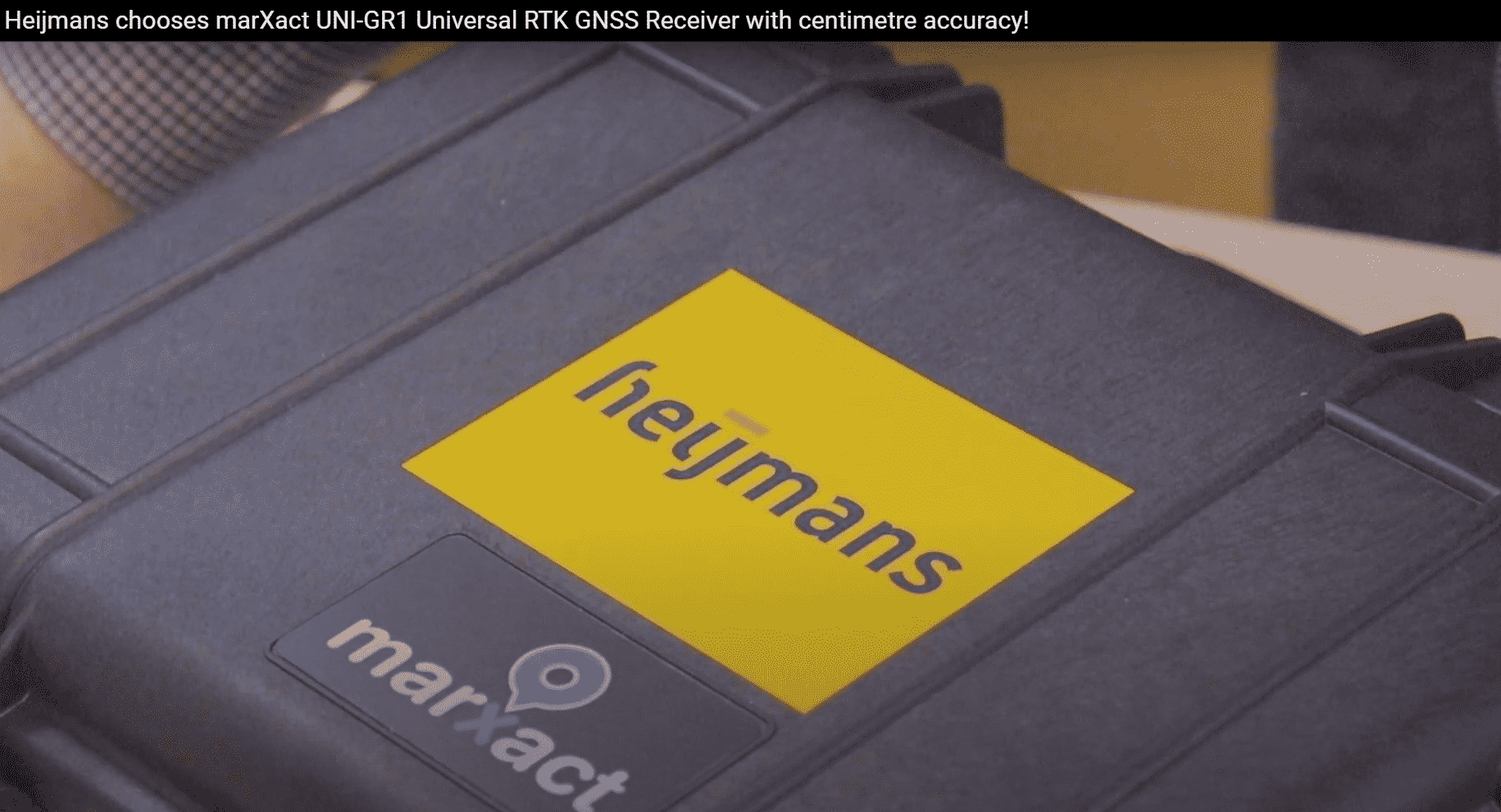
Construction
Using the UNI for many different applications
Surveying
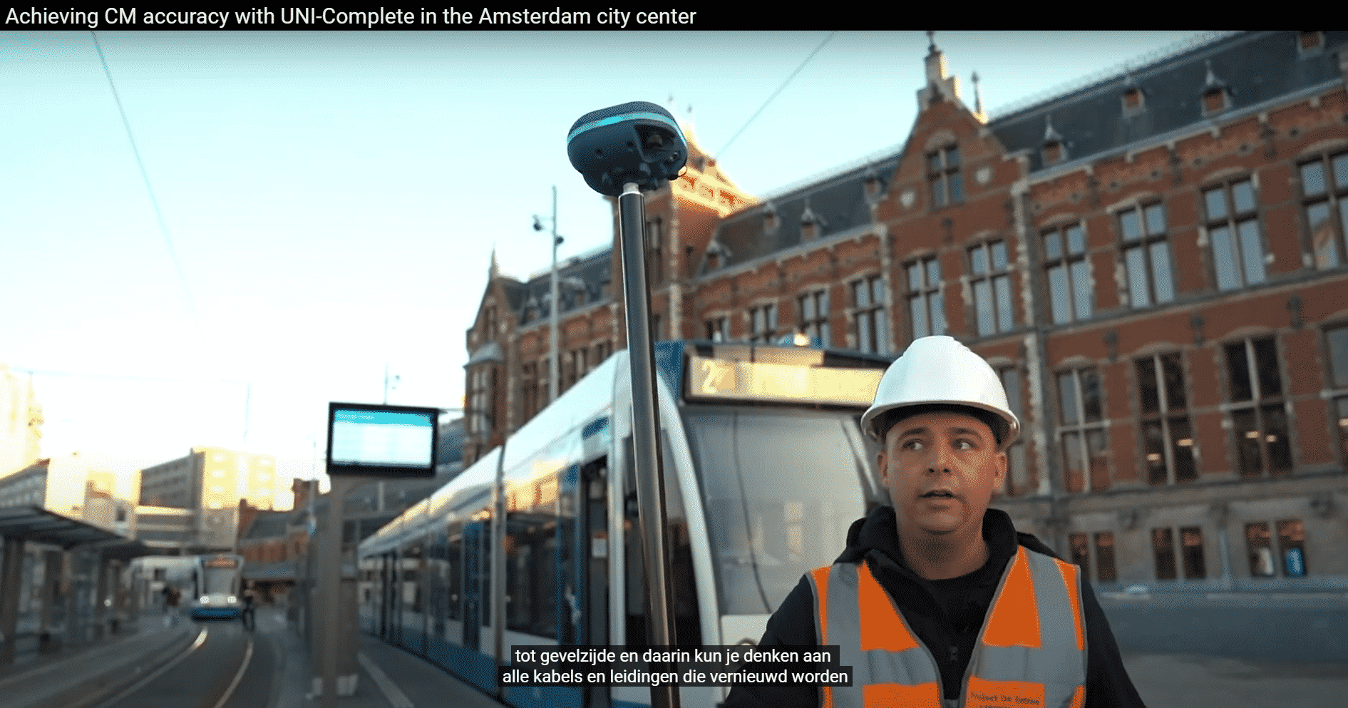
CM Accurate
X,Y,Z 3D Data
Points, Polylines, Polygons
Length, Surface, Perimeters
Ground control points Layers & Attributes
Location and Height Control
Stakeouts
Points, Polylines, Polygons
Complete Building, Road, Water, Infra Designs
Manual Coordinates
Point lists
Drawings Design Drawing Control
Design & As-Built
AutoCAD Drawings
PDF & CSV Reports
Open & amend design DXF
Design vs As-Built in field
Mix & Match
Measure new situation
Draw in the field
Any Discipline
Infra & construction
Water & Land
Roads & Waterways
Sewers, Telecom, Utility
Land, Gardens, Trees
Agriculture
Geospatial
Machinery
Mounted on a vehicle
Mounted on machine or UAV
Provide RTK base for Drones
Machine Control
Agriculture
Automatic Measuring
Measure areas fast
Interested in the benefits and applications?
Receive a brochure with all specifications and more information
At a time when more and more clients make it mandatory to mark house connections on a map with precision, Baas B.V. embraced this development with full conviction. After a thorough research process in which several parties and combinations were considered, they opted for the combined forces of GOconnectIT and marXact.
These lucky winners won in earlier months and have therefore secured 3 months UNI-Cloud for free. Congratulations!
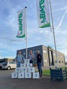
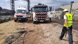
A selection of our users
NO SURVEYING SKILLS? NO PROBLEM
Discover how our efficient, easy-to-use tools simplify surveying. Request a demo to explore tailored solutions, get expert advice, and try it out—no commitment needed!


