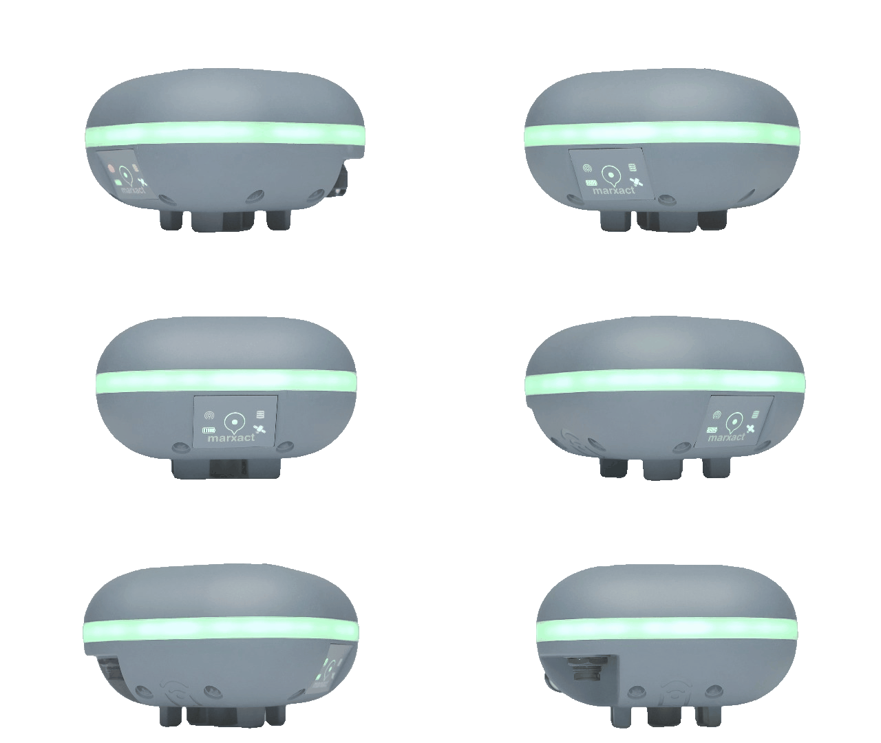
GNSS Surveying for everyone
With the UNI-Complete package, you have everything you need to measure anything you want with centimetre accuracy and export it to your desired format. An all-in-one complete package.
The most universal receiver
With easy, intuitive software and receiving 4 constellations on 432 channels, you will get centimetre accuracy easier than ever before. Survey with UNI-Connect, integrate in your software or connect to any app of your choice.
The easiest survey software
Measure points, lines, polygons and arcs in your local coordinates and export them at the tip of your finger to the office. In CSV, DXF, DWG and more file extensions. Or the other way around, with stakeouts.
Comes for free with the UNI-GR2 and works on any device with WiFi and a browser.
Get a grip of the field
Connected to the UNI-Cloud, your measured work syncs to the office in no time. Or to your own software with the UNI-Cloud API. Combined with remote access and phone support, the UNI-Cloud is what makes you get your work done faster than ever.
Corrections everywhere you go
Get centimetre accuracy on your UNI-GR2 or any other RTK supporting antenna with UNI-RTK Premium. Using hundreds of base stations all over the world, you will get the needed corrections without borders.