GOconnectIT en marXact: een interessante infracombinatie

Dit artikel is gepubliceerd door OTAR Magazine in april 2022. De behoefte om kabels en pijpleidingen snel en eenvoudig in kaart te brengen neemt snel toe in de infrastructuursector. Op de centimeter nauwkeurig aangeven waar ze al liggen of waar ze gegraven moeten worden zonder graafschade te veroorzaken. GOconnectIT en marXact bieden een interessante combinatie waarbij [...]
Greenpoint & marXact

Greenpoint is een online platform voor het beheer van de buitenruimte. Bedrijven, gemeenten en aannemers kunnen met hun software gegevens krijgen over objecten in de buitenruimte. Greenpoint stelt je in staat om de informatie vast te leggen en zeer eenvoudig te benaderen in kaartbeelden die visuele herkenning bieden. Met de BOR-oplossing kunt u al uw [...]
TCPGPS door Aplitop & marXact
Aplitop is een bedrijf dat gespecialiseerd is in het ontwerpen en programmeren van technische toepassingen voor civiele techniek en landmeetkunde. Ze hebben een breed scala aan oplossingen ontwikkeld voor veldmetingen en het werken met stake-outs. Ze hebben ook CAD-gebaseerde software ontwikkeld voor civiele projecten en speciale toepassingen voor puntwolken, tunnels en fotogrammetrie. Een fundamenteel aspect van hun [...]
MyCumulus & marXact
Mycumulus is een cloudgebaseerde dienst die is uitgebracht door ADW software. MyCumulus is een combinatie van een app, een website en hulpprogramma's. Gebruikers kunnen hun projecten aanmaken, formulieren maken, gegevens verzamelen of bijwerken op Android-apparaten. Ze kunnen deze gegevens bekijken op de MyCumulus-website. Met de applicatie kunnen gebruikers posities meten en die [...]
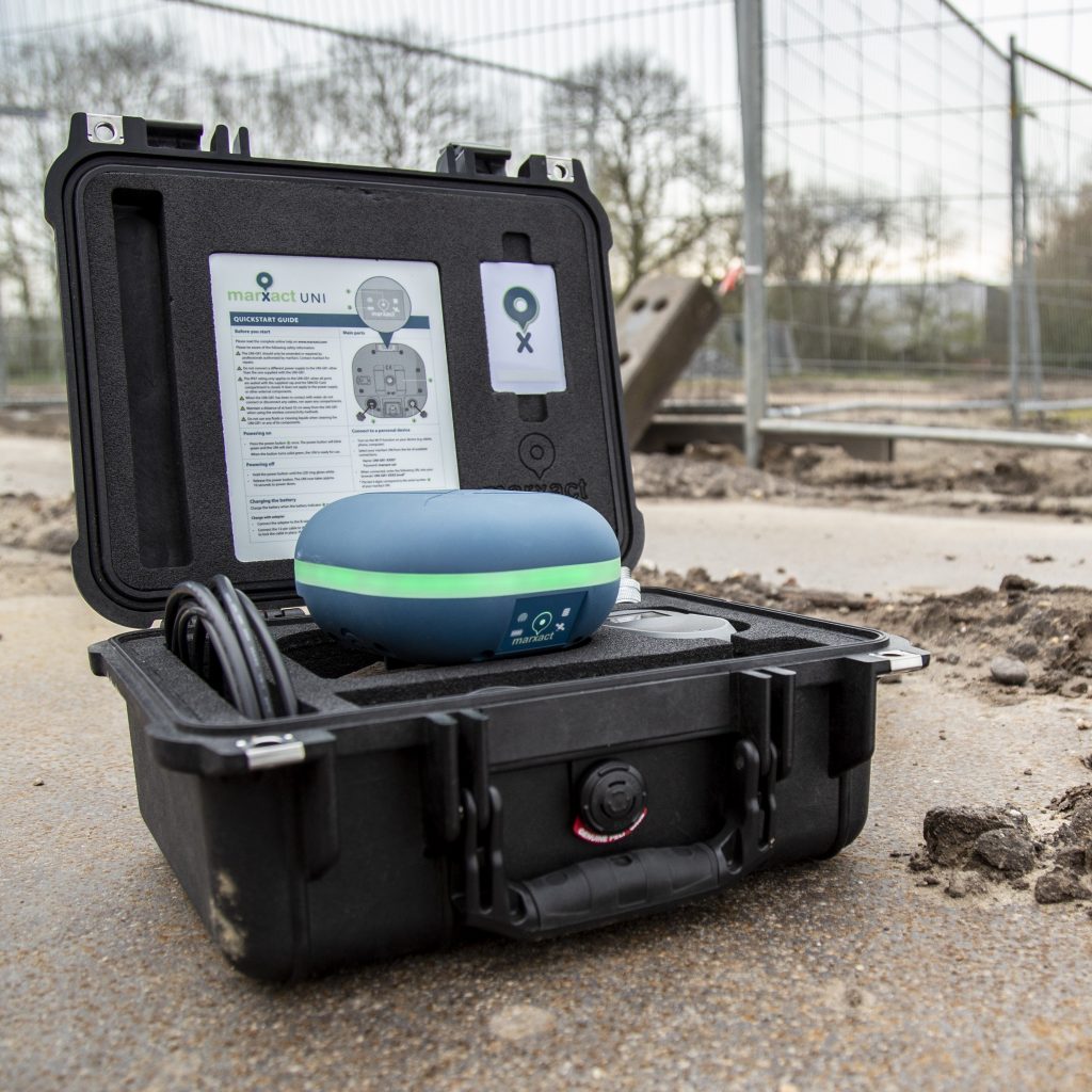
Heijmans en de UNI!

Meten terwijl de grond nog open is en iedereen in je team het werk laten inmeten. Het is waar de infra- en bouwwereld om schreeuwt en met de UNI-GR1 kan Heijmans het! En wie kan je beter vertellen hoe ze het doen, dan de hoofdmeter zelf? Bekijk de video; [...]
GeolinQ & UNI-Cloud

GeolinQ is een no-code, web-based, software oplossing voor het verzamelen, koppelen en publiceren van ruimtelijke gegevens op een efficiënte en flexibele manier. Vrijwel elke toepassing variërend van gegevensbeheer, inspecties, datawarehousing, rapportage, kaartportalen, gegevenslevering gevalideerd volgens formele standaarden etc. kan in GeolinQ worden geconfigureerd zonder enige programmering. Gegevens uit verschillende bronnen worden gekoppeld door [...]
UNI-Cloud API

Wist je dat je met de UNI-Cloud API je UNI-GR1 GNSS ontvanger volledig kunt integreren in je eigen software? Nu weet je het! De volgende stap is weten wat dat voor uw bedrijf betekent... En dat is vrijwel alles! Want wanneer u de centimeternauwkeurige positie van de UNI-GR1 in uw eigen systemen hebt geïntegreerd, bent u [...]
QGis & marXact

Creëer, bewerk, visualiseer, analyseer en publiceer geospatiale informatie met QGIS! QGIS is een gebruiksvriendelijk Open Source Geografisch Informatie Systeem (GIS) met een licentie onder de GNU General Public License. QGIS is een officieel project van de Open Source Geospatial Foundation (OSGeo). Het draait op Linux, Unix, Mac OSX, Windows en Android en ondersteunt talrijke vector-, raster-, [...]
ESRI ArcGIS Data Collector & marXact
marXact is verheugd om de naadloze integratie van haar UNI-GR2 met Collector for ArcGIS van ESRI aan te kondigen. Dit biedt onze gebruikers een betrouwbare en flexibele oplossing voor het verzamelen van gegevens in het veld! Collector for ArcGIS by ESRI is een krachtige mobiele applicatie voor het verzamelen van gegevens, ontworpen om het vastleggen van nauwkeurige ruimtelijke gegevens in het veld te stroomlijnen. [...]
Carlson SurvPC & marXact

Carlson Software ontwikkelt softwareoplossingen die de landinrichtingsprofessional helpen van concept tot oplevering - de volledige cyclus van een project. Als onafhankelijk bedrijf, opgericht in 1983, staat Carlson Software bekend om haar uitgebreide softwareoplossingen op het gebied van civiele techniek, landmeetkunde, machinebesturing, positionering en mijnbouw. De toewijding aan klantenservice is befaamd in [...]