It is long past time to move away from crumpled papers full of handmade sketches and measurements that somewhat resemble the existing situation for project preparations and meetings. It is time for a carefully completed BIM model to smoothly execute of infrastructure projects.

Clients such as (semi) governments and network operators work with parties such as contractors, architects, and engineering firms regularly. These collaborations lead to the design and creation of civil engineering structures such as bridges, (rail) roads, and cables and pipelines. In order to optimize the design and construction process and prepare it for easy management, it’s important that all required above and underground environmental information is available to all parties. That is why all stakeholders must apply BIM in their work. Up-to-date and accurate data is indispensable, so you can keep these major projects on track. Digital surveying is one of the available tools for this, because you collect that data yourself.
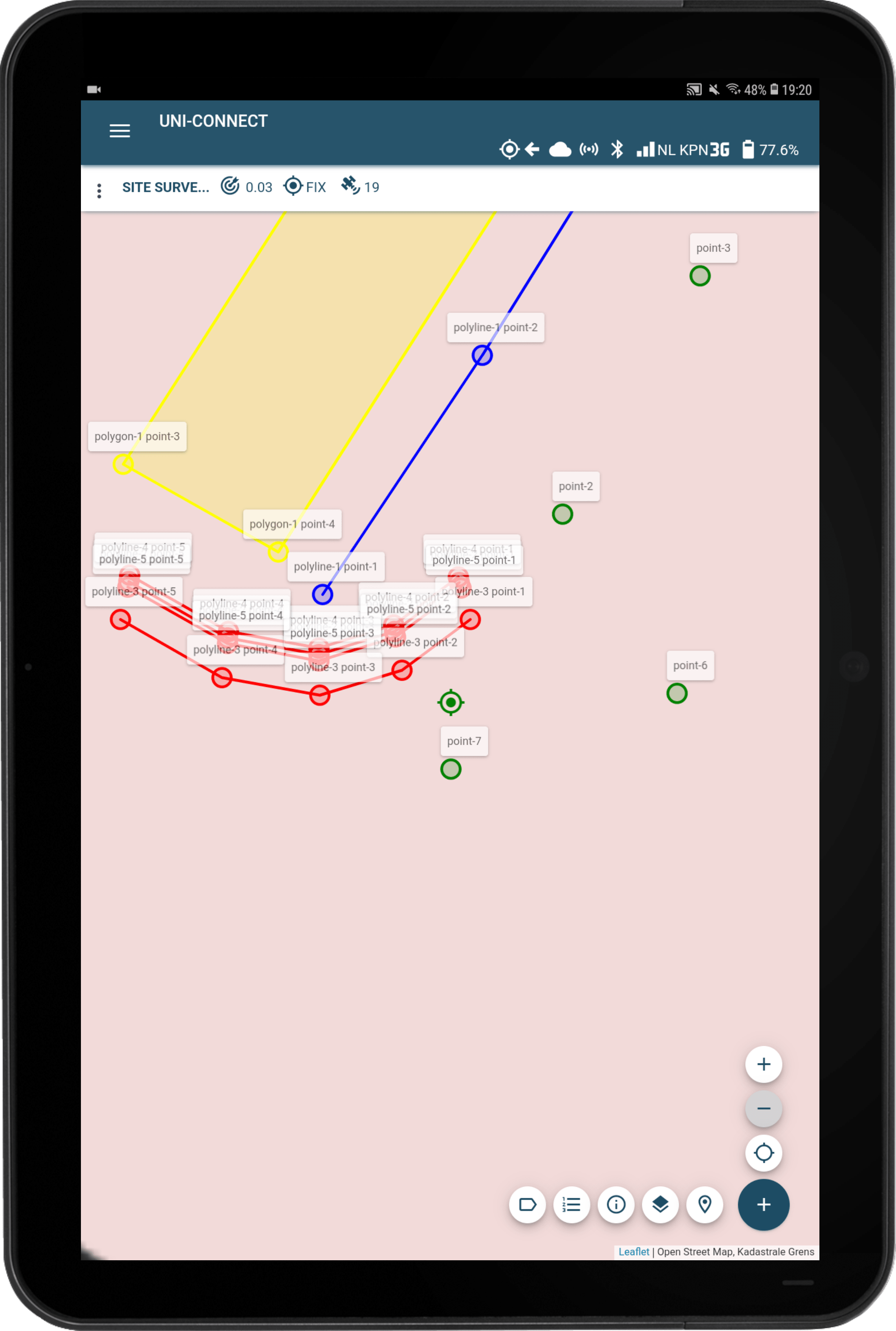
Digital surveying uses smart satellite signals that are then converted into centimetre-accurate positions. These positions can be indicated as a point, line, or polygon on a digital map, this is the so-called ‘measurement’. Surveying can be done on a daily basis, depending on the number of projects or project steps. For example, existing elements at a location can be measured, which makes it easier to design a new road network. You have indicated where a pond or lake is and which you cannot drive over. That data is synchronized in real time with its own cloud environment. From that environment, the data can be exported to other programs, systems, and certainly to a BIM model.
A well-functioning BIM depends on the amount of correct information that is supplied. A lot is already available for infrastructure companies, what is missing can be measured digitally. For example, the Dutch Land Registry (Kadaster) has a lot of information available, such as KLIC, and the BGT – the Key Register of Large-Scale Topography. This information provides a good basis for the further process, including during the design, development, and certainly during a project evaluation afterwards.
In particular, the information collected through machine control is a great way to fill BIM in infrastructure projects. In machine control, two digital receivers are mounted on the back of an excavator. These two not only work together, but also with other integrated software. Together they make it possible to indicate centimetres accurately where digging is carried out during work related to infra. The operator sees on his screen exactly where he is in a work and how the position of his bucket is in relation to the 3D design previously made. The same 3D model is made on the basis of existing information from the client(s), often as a ‘flat’ AutoCAD drawing and can be added to the BIM. This reduces the chance of excavation damage even further, which benefits the execution of infrastructure projects.
Are you curious about how accurate and current digitally measured projects in BIM benefit your infrastructure work? Whether or not in combination with machine control? marXact is happy to tell you more about how you integrate this into your work processes.