
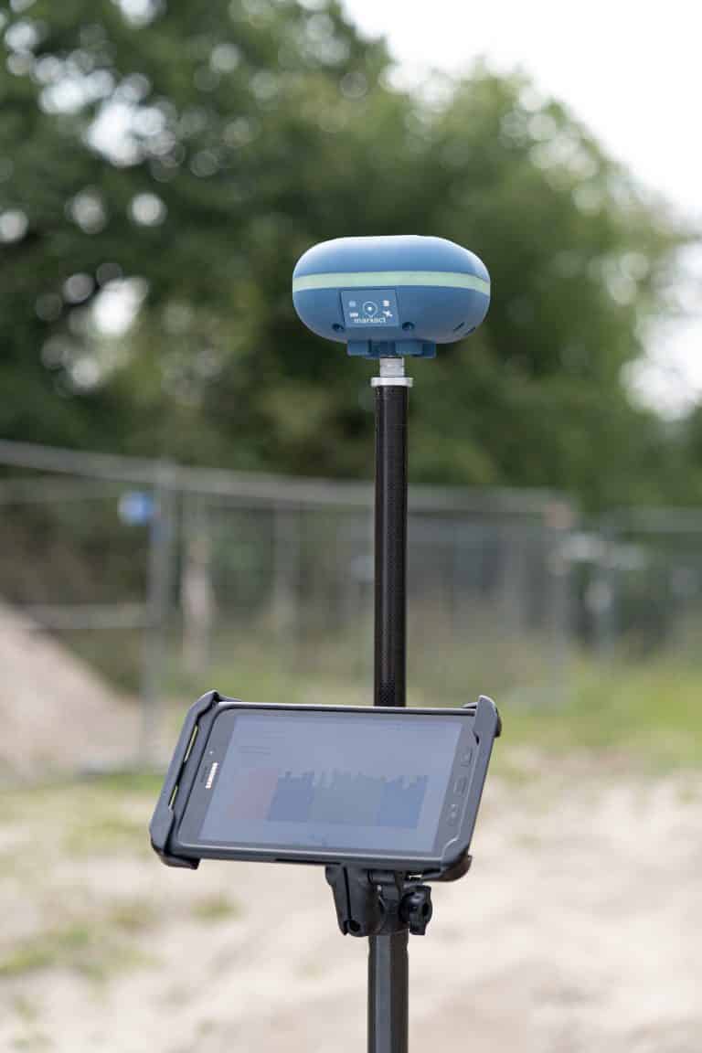
''As a company, we are very impressed with the device and it meets the required conditions. In Suriname we use the UNI-GR1 on a daily basis and it works perfectly fine! Our people no longer have to work with expensive equipment outside and we can immediately enter the measured values for the customer. In addition, the good price also gives us more opportunities to invest more.''
Dentinus international
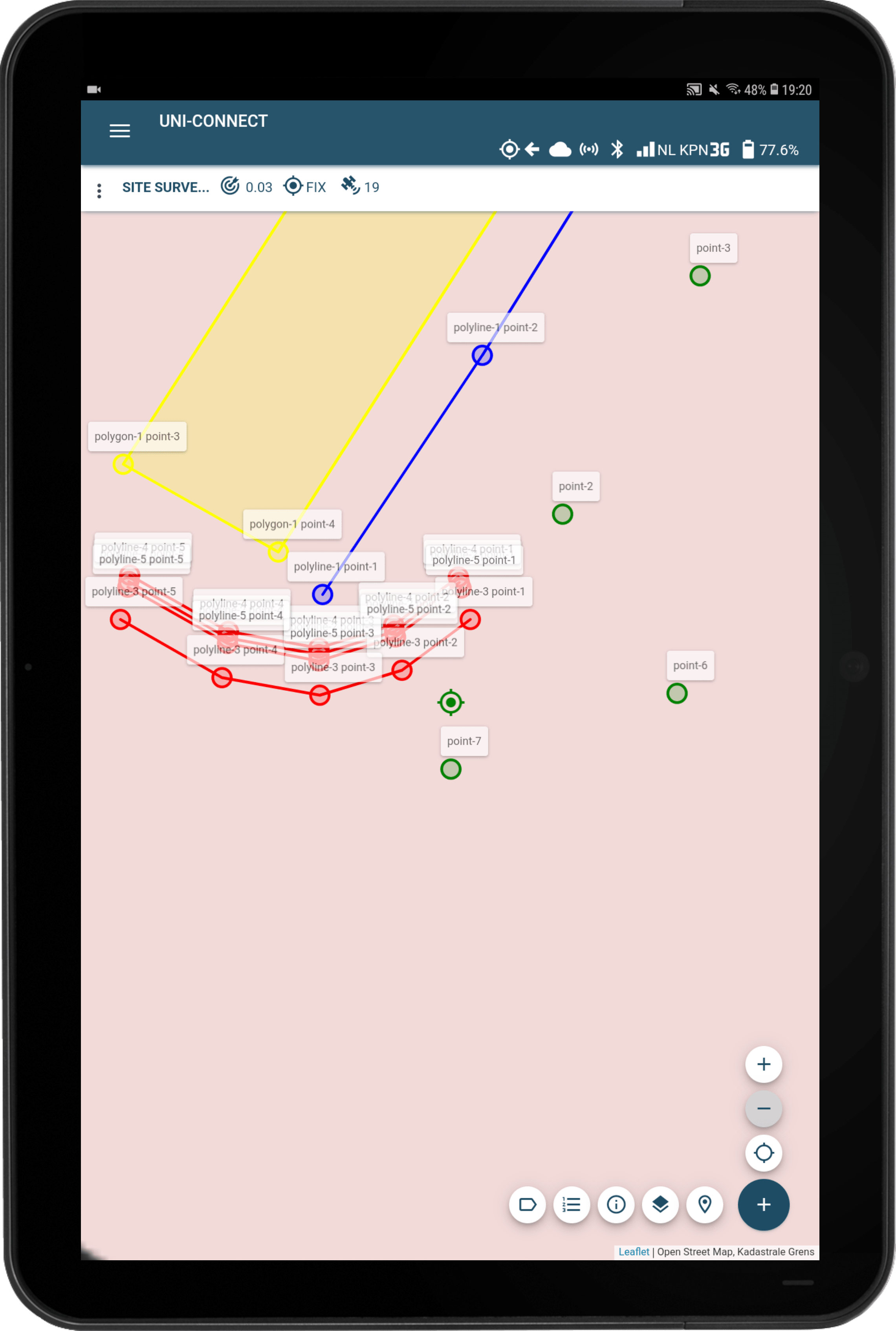
''Using the stake-out function saves a lot of time and goes a lot faster then we were used to. Points and lines load quickly and the the fact that it's so easy-to-use is also a big plus. Among other things, we use the UNI-GR1 for baseline measurements, overhaul construction work and for all kinds of construction-ready work, such as sewer construction work. We are very satisfied with the UNI-GR1.''
T. Van de haterd b.v.