Determining the exact location of your property boundary is important for every landowner. Knowing where your property begins and ends is not only important for maintaining good relationships with your neighbors, but also for correctly carrying out renovations, plantings, or other modifications to your land. In this article, we delve deep into the world of property boundaries. We explain what a property boundary is exactly, why it is so important to determine it, and take you step by step through the process and methods to accurately establish your property boundary.
A property boundary is the legally defined separation between private properties. Its determination is crucial within the context of real estate and land ownership, as it specifies property dimensions, benefiting both current owners and potential buyers. Utilizing surveying equipment ensures precision and expertise in establishing property boundaries. For detailed insights into this process, refer to our page on surveying equipment. [1]
Accurate determination of property boundaries holds significance in various situations. It facilitates gardeners in creating or renovating gardens within designated boundaries and enables landowners to make adjustments to their properties. Moreover, it prevents conflicts and disputes with neighbors by providing clarity over property lines, serving as a strong foundation in legal proceedings concerning land ownership.
To learn more about the role of property boundaries in gardening and landscaping, visit our landscaping page.
By clearly delineating property boundaries, you ensure peace and clarity among all parties involved. This article guides you through the necessary steps to establish your property boundary accurately, allowing you to embark on future projects or discussions confidently and knowledgeably.
Having a clearly defined property boundary offers multiple benefits to landowners, enhancing clarity, certainty, and property management. Some highlighted advantages include:
Determining the property boundary is a precise and sometimes complex process involving several steps. Here’s what you need:
Make sure you have all the necessary documents and information ready, such as title deeds and previous surveying reports.
Hire a professional surveyor who has experience in determining property boundaries in your area.
Have the surveyor measure the property boundary with professional equipment and record the results.
Make sure that the established property boundaries are officially registered for legal certainty.
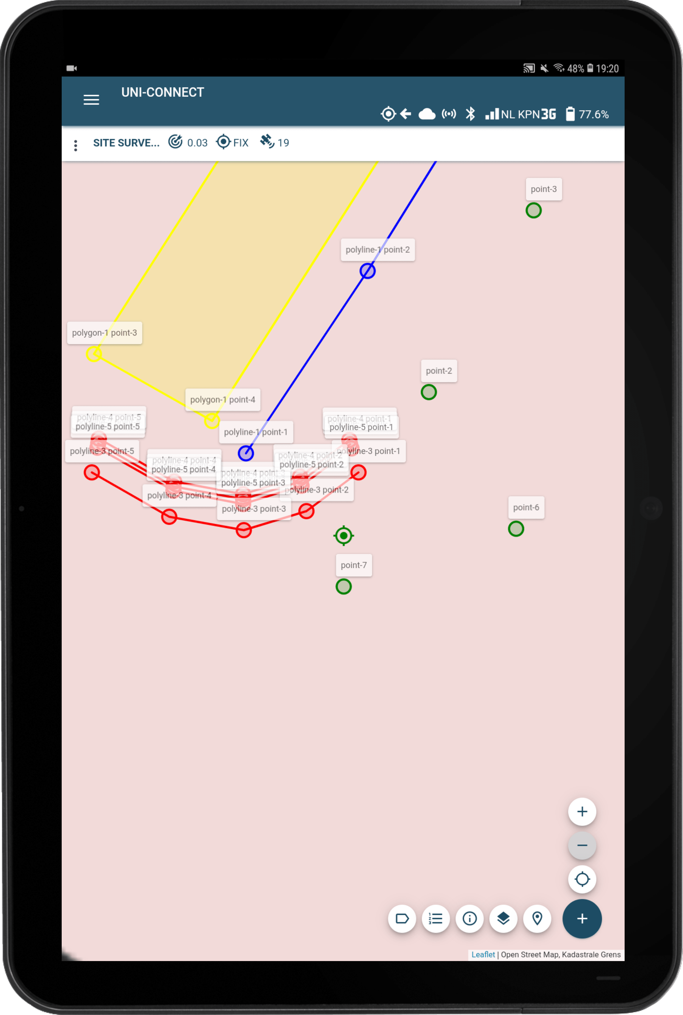
The quality of measurement systems and equipment significantly influences property boundary determination. Our products, including the UNI-GR2, UNI-Cloud for data management, and UNI-Connect app, offer comprehensive solutions for surveying needs, maximizing efficiency and minimizing surveying time.
MarXact is dedicated to providing high-quality, reliable measurement systems for professionals and individuals involved in various surveying activities. Are you interested in our products or would you like more information? Please contact us or request a demonstration. Our team is ready to provide you with the best solutions for your surveying challenges.