What is Surveying
Surveying, an ancient practice, has shaped civilizations and continues to be vital in modern times. From establishing the boundaries of kingdoms and making the construction of miracles possible, to forming the basis of modern urbanism and infrastructure. From the pyramids of Egypt to the impressive skylines of today, behind every great construction is surveyors with precision instruments and cutting-edge technology.
The history of surveying goes back thousands of years. In ancient Egypt, surveyors played a vital role in redefining land boundaries following the Nile’s floods. These early experts, known as “rope stretchers,” used simple tools such as knotted ropes for measuring distances. Over the centuries, surveying evolved alongside technological innovations.
The 18th century saw a pivotal development with the introduction of the theodolite, revolutionizing angle measurement and enhancing survey accuracy. Today, surveyors apply cutting-edge technologies such as GPS (Global Positioning System), GIS (Geographic Information Systems), and other advanced equipment to measure land with unprecedented precision.

How Does Surveying Work?
Surveying is the scientific process of determining the physical and three-dimensional properties of a piece of land. This includes the dimensions, contours, and exact location. This process unfolds in several steps:
- Preparation: Collect existing data and maps of the area.
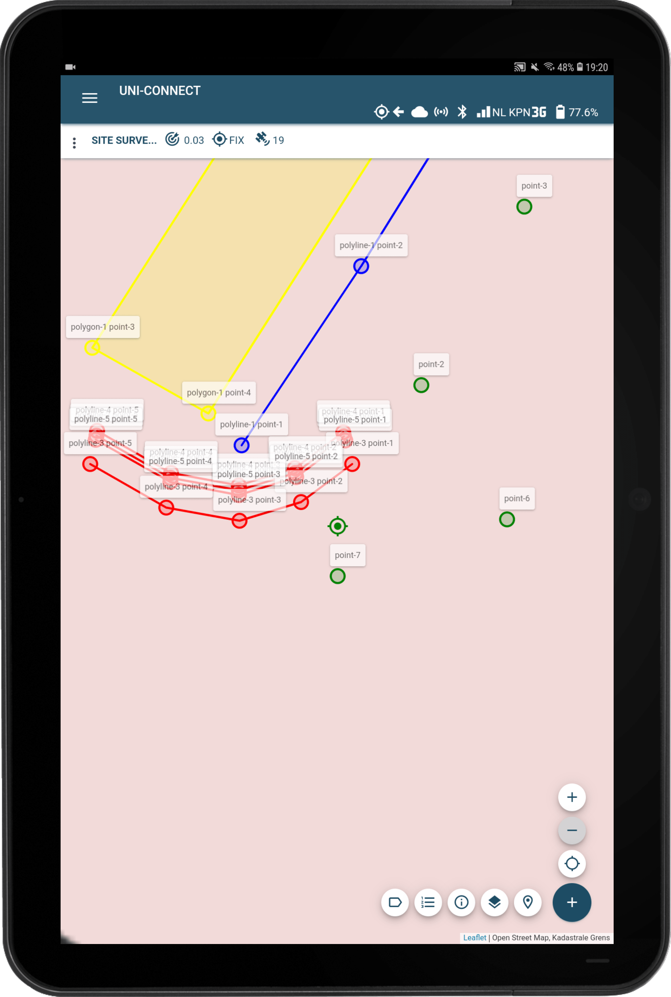
- Fieldwork: Physical measurements on site using instruments such as GPS, RTK, theodolites and total stations.
- Data analysis: Processing the collected data to create an accurate map or floor plan.
- Reporting: Summarize the findings in reports or digital maps.
Key instruments include GPS for precise positioning, theodolites for angle measurement, and total stations for combined distance and angle measurement.
What can you do with surveying?
Surveying is essential for applications in urban planning, , where it helps design roads, neighborhoods. In real estate development, where it is indispensable for determining property boundaries and planning construction projects. And in environmental research, for example by mapping flood risks and managing natural resources.
Why is Surveying Important?
In sectors such as infrastructure, gardening and landscaping, and laying cables and pipelines, surveying ensures accurate plan execution, minimizes risk, and optimizes resource management. Recently, surveying also contributes to environmental protection and sustainable development, by contributing to the planning of sustainable cities and the management of natural resources.
What Does a Surveyor Do?
Surveyor’s job encompasses a wide range of core duties:
- Performing accurate measurements of land and property.
- Determining land boundaries for legal, construction and design purposes.
- Creating and interpreting maps and floor plans.
- Advising on property boundaries, right of way, and use of land.
- Using advanced surveying equipment to collect data.
Surveyors use advanced equipment such as GPS, RTK, drones, and total stations to perform their tasks. Check out our surveying equipment and the UNI-Complete page for more information about.
Buying Surveying Equipment from marXact
At marXact, we pride ourselves on our cutting-edge surveying equipment. Our products are known for accuracy, user-friendliness, and integration with modern technologies. Our equipment enhance efficiency and professionalism across various sectors.
Interested in Our Equipment? Contact marXact for more information!
Explore our webshop and request a demonstration to discover how our surveying equipment can elevate your projects.