La mejora continua de las carreteras es el camino a seguir, según el Centro Belga de Investigación Viaria. Este instituto independiente marca su propio camino y recientemente ha incorporado la topografía digital a su flujo de trabajo. Lo hacen con nuestro receptor digital UNI-GR1 y hemos preguntado a Ben Duerinckx y Liliia Pleskach cómo y por qué han tomado esta decisión y, lo que es más importante, cómo contribuye la topografía digital a sus objetivos de futuro.

BRRC para el conocimiento y la investigación
"El Centro Belga de Investigación de Carreteras es el centro de investigación del sector belga de la construcción de carreteras. Fue fundado en 1952 por los contratistas de carreteras belgas para promover y coordinar el progreso tecnológico en la construcción de carreteras a través de la investigación científica, la innovación y el intercambio de conocimientos", afirma Ben Duerinckx. Ben Duerinckx es el Coordinador de la Sección de Ensayos del BRRC, donde lleva casi 18 años. Es responsable de la aplicación de nuevas tecnologías y de trasladar todas las cuestiones prácticas de la investigación al campo mediante demostraciones y secciones de prueba. "BRRC está formado por un equipo multidisciplinar de expertos que trabajan juntos para promover la innovación y la sostenibilidad en la construcción de carreteras en Bélgica. Lo hacemos a través de nuestra propia investigación y desarrollo y asistencia técnica. Compartimos nuestros conocimientos a través de la formación en nuestra propia Academia Belga de Carreteras, conferencias y publicaciones, y colaborando con organizaciones nacionales, europeas e internacionales. Eso suele dar lugar a análisis y proyectos de investigación únicos en Europa".
Liliia Pleskach trabaja con Ben en el Centro Belga de Investigación de Carreteras, es analista de SIG dentro del equipo de SIG de TI. "Nuestro objetivo es convertirnos en la principal fuente de datos y asesoramiento sobre investigación vial en Bélgica. Convertirnos en el instituto al que acudan las empresas belgas y las autoridades viarias siempre que necesiten datos recientes y precisos sobre (el estado de) las carreteras en Bélgica. Para ello, además de cumplir nuestros compromisos actuales, necesitábamos una solución para digitalizar nuestro flujo de trabajo e implementarlo en nuestros proyectos. Así es como acabamos eligiendo el receptor digital UNI-GR1 de marXact".


Encontrar y elegir marXact
Su búsqueda comenzó en el propio BRRC, decidiendo qué necesitaban de la nueva adición a la caja de herramientas actual. Una solución de código abierto fácil de usar y la posibilidad de conectarse a un software que ya se utilizaba eran las prioridades. Liliia: "Empecé a buscar soluciones en Google. Comparé receptores y otros equipos en cuanto a precisión, sistemas de satélite y otros requisitos. Nuestro objetivo era encontrar algo "abierto" y compatible con otros sistemas y aplicaciones externas que utilizamos, como Mergin Maps y nuestro propio Geoportal BRRC. Nos pusimos en contacto con marXact y, en primer lugar, mantuvimos una reunión en línea y una demostración, en la que obtuvimos más información sobre el hardware y el software y sobre cómo encajarían en nuestro flujo de trabajo. Enseguida nos dimos cuenta de que satisfacían todas nuestras necesidades, no sólo el precio".
Integrar la precisión centimétrica
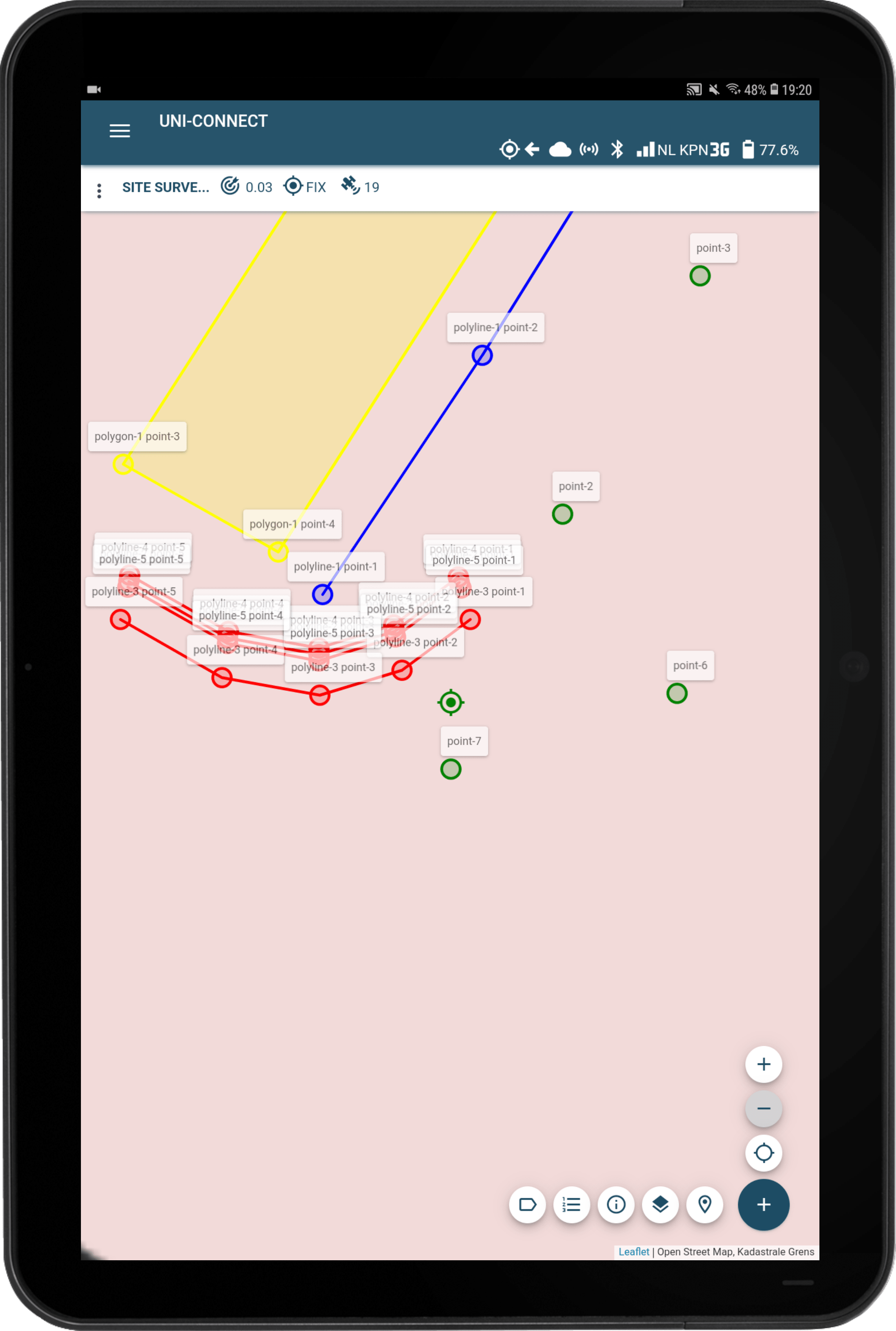
Los datos topográficos digitales de precisión centimétrica se han convertido en parte integrante del flujo de trabajo de BRRC. Ben: "Utilizamos esa información con nuestro propio software GIS para diversos fines, incluida la digitalización de nuestras actividades (diarias), como la indicación de ubicaciones en secciones de prueba para su uso posterior, las inspecciones visuales, la medición de la densidad de los pavimentos de asfalto, así como el apoyo tecnológico a todas las empresas y particulares de la construcción de carreteras. Tomemos como ejemplo las secciones de prueba. Generamos datos precisos cuando los construimos y utilizamos esa misma información para encontrar exactamente el mismo punto cuando volvemos a ese lugar para la supervisión y la investigación de seguimiento".
"También es muy útil para nuestras inspecciones visuales", afirma Liliia. "Podemos registrar imágenes de daños en la carretera en la aplicación Mergin Maps, así como utilizar la antena GPS UNI para la geolocalización, lo que también resulta útil para los registros. Utilizamos la tableta para introducir los datos topográficos y sincronizar los resultados con nuestra plataforma BRRC Geoportal. Esto incluye toda la información detallada que necesitamos, como medidas de valor y fotos.
Dentro del equipo SIG, hemos creado múltiples formularios personalizados para nuestros equipos técnicos que nos permiten registrar toda la información necesaria relacionada con las carreteras. Podemos determinar la posición de las mediciones y personalizar completamente la solicitud del cliente. Todo es fácil de usar y configurar, ¡eso es lo que realmente me gusta!".

"La función de replanteo nos ha cambiado las reglas del juego. Podemos encontrar puntos fácilmente y seleccionarlos en el mapa. La precisión centimétrica del equipo es una gran ayuda. Facilita mucho el levantamiento, sobre todo cuando vuelves a lugares en los que ya has estado antes", concluye Ben sobre el nuevo y mejorado flujo de trabajo.
Uso no tradicional de la UNI
"Aunque la UNI se utiliza habitualmente como vehículo móvil, en BRRC también la utilizamos en combinación con distintos equipos de medición. La solución de código abierto que ofrece UNI es imprescindible en este tipo de proyectos. Por ejemplo, conectamos la antena GPS a nuestro FFWD (Fast Falling Weight Deflectometer) para evaluar el estado estructural de una carretera o a nuestra silla de ruedas para evaluar la comodidad de las aceras.
Esto nos dará la posibilidad de registrar los resultados de las pruebas en combinación con una geolocalización. Toda la información podrá visualizarse en nuestro Geoportal. Como futuro proveedor de datos sobre carreteras, toda esta información podrá compartirse con el sector. Así, por ejemplo, las autoridades viales pueden utilizar esta información en sus estrategias de gestión de firmes. También se pueden proporcionar diversos conjuntos de datos con fines de investigación", explica Ben.

está conectado a un receptor GPS UNI-GR1

Contar con apoyo
"El equipo de asistencia ha sido estupendo. Hemos tenido algunos problemas antes y enviamos la UNI a Hilversum para una reparación, el equipo siempre ha sido transparente y servicial al respecto. Por teléfono y por correo electrónico. Además, hay mucha documentación disponible y sabemos que siempre podemos contar con su ayuda", afirma Liliia.
¿Le gustaría experimentar por sí mismo de lo que hablan Ben y Liliia? Puede solicitar una demostración in situ topografía digital fácil y asequible aquí.