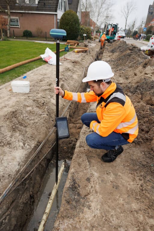
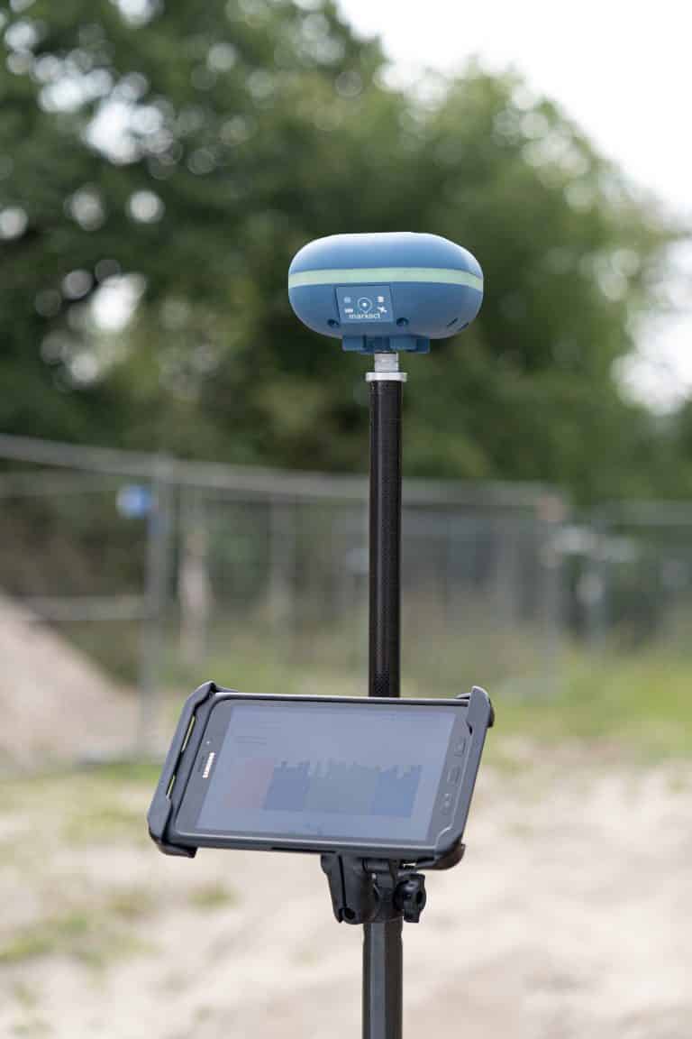
"Como compañía, estamos muy impresionados con el dispositivo, cumple con todas las condiciones requeridas. En Suriname usamos el UNI-GR1 diario y funciona perfectamente bien! Nuestra gente ya no tiene q trabajar afuera con equipos costosos y podemos importar inmediatamente los valores medidos para nuestros clientes. Además, con tan buen precio tenemos oportunidad de invertir más".
Dentinus international
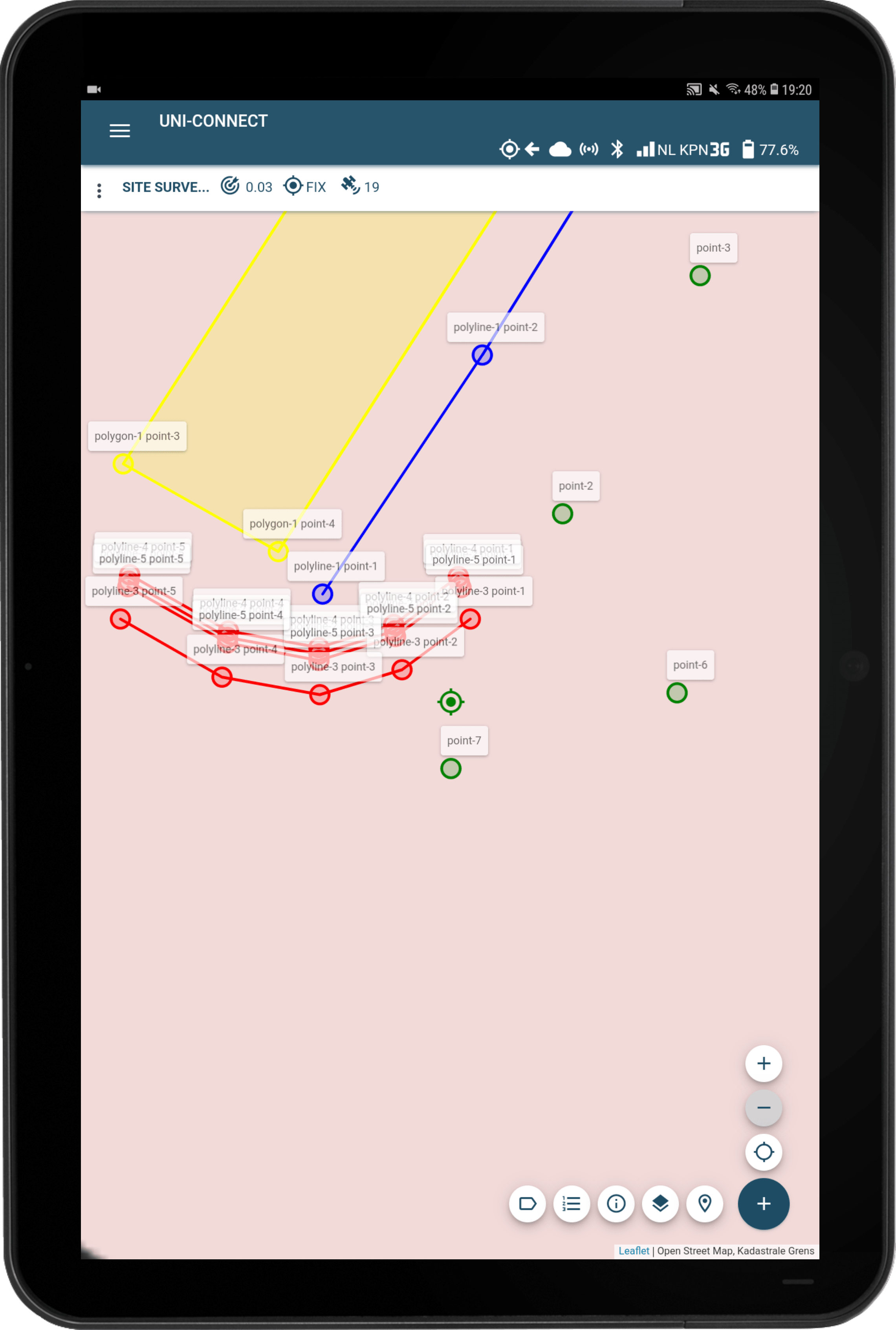
"El uso de la función de replanteo ahorra mucho tiempo y es mucho más rápida de lo que estábamos acostumbrados. Los puntos y las líneas se cargan rápido y el hecho de que sea tan fácil de usar también es una gran ventaja. Entre otras cosas, usamos el UNI-GR1 para mediciones de líneas, trabajos de revisión y todo tipo en construcción, como alcantarillados. Estamos muy satisfechos con el UNI-GR1".
T. Van de haterd b.v.