This article has been published (in Dutch) by HZC Vakblad De Machinist in April 2025.
The public space around us is growing rapidly. The amount of construction projects are increasing, while the space to work in is becoming more limited. That’s why working efficiently and precisely is more important than ever. Accurate digging plays a crucial role in this. Excavation errors cause delays, extra costs, and safety risks. 3D GPS machine control offers a solution that not only improves digging accuracy, but also significantly boosts overall project efficiency.
With marXact’s UNI-Machine, operators have everything they need to dig accurately and easily, following the design model and preventing excavation damage. The machine control system uses marXact’s RTK GNSS technology combined with high-quality sensors from Nijhuis Engineering, enabling excavators to operate with centimetre-level accuracy.
“By joining forces with Nijhuis, a leading authority in machine sensor control and safety systems, we’ve created a solution that truly meets the market’s needs,” says Tommy van der Heijden, co-founder of marXact.

Operator-first approach
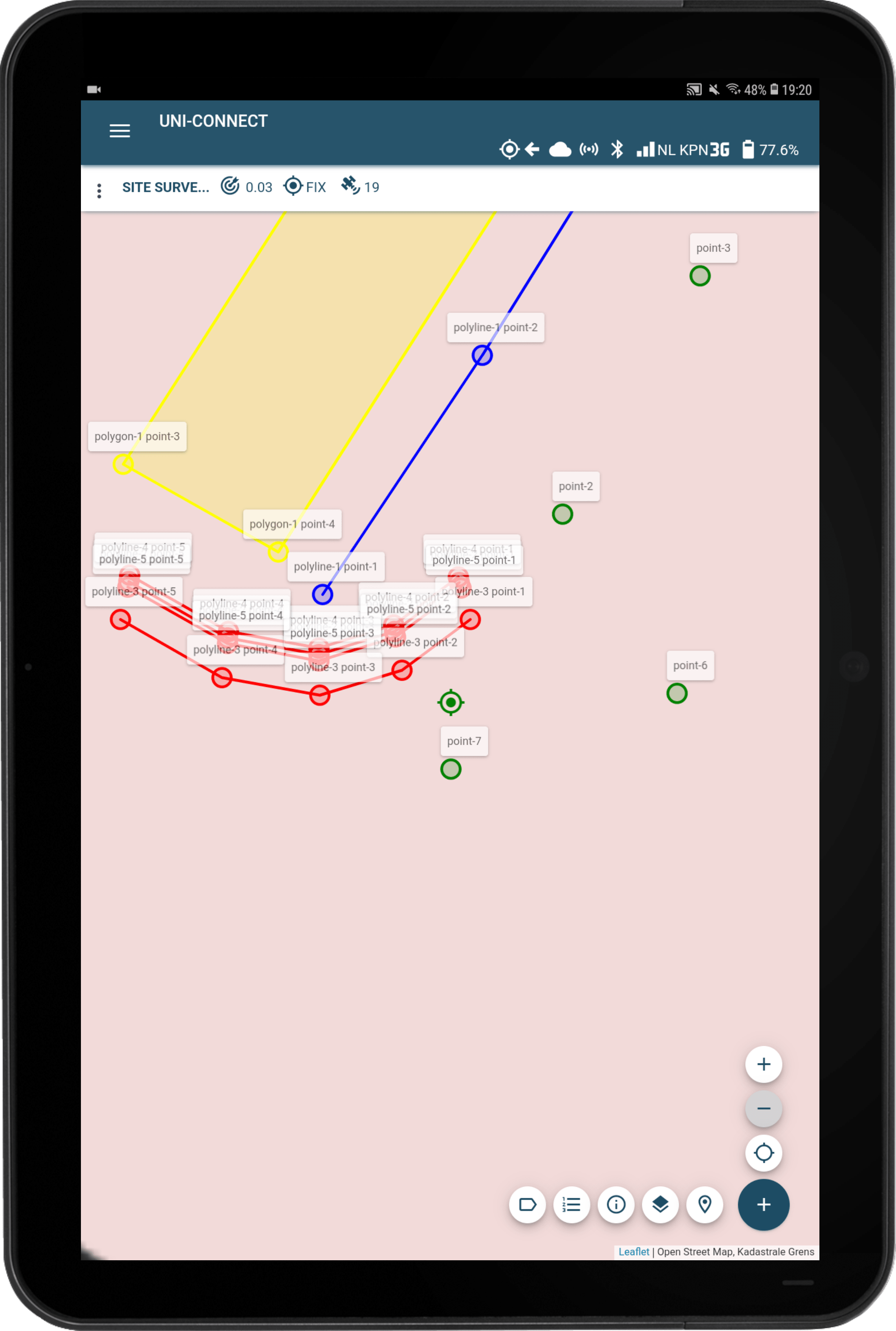
UNI-Machine has been continuously tested by excavator operators, with software improvements made directly from field feedback. A key software feature resulting from this process is the 3D visualisation of the bucket position in relation to the design. Thanks to the intuitive and user-friendly interface, operators can work in both 2D and 3D, and view the project from multiple angles for a complete overview at all times.
Existing models can be easily imported and synced with the machine in various file formats, such as LandXML, DWG, or DXF. This eliminates the need for file conversions or adjustments, saving valuable time both in the office and in the field. KLIC utility maps (Dutch cable and pipeline data) can also be imported, making underground infrastructure directly visible on the machine’s screen. This helps prevent excavation damage and increases safety on-site.
Make adjustments directly in the field
Operators can also draw their own 3D models and polygons directly from within the machine using UNI-Machine. This means that designs don’t always have to come from the office – they can be created or adjusted on-site. Operators can also make real-time changes using either the excavator’s bucket or the included marXact GNSS survey pole. That makes it possible to measure and draw models in places where the machine itself can’t easily reach.
Any changes made – such as adjusting elevation levels, rotating models, or raising/lowering surfaces – are instantly synchronised to the office via UNI-Cloud. This means as-built documentation is available immediately, and design updates are reflected in real time in the field.

For every excavator, anywhere in the world
Wherever a project takes place, and whatever type of excavator is used, UNI-Machine offers a universal and reliable solution for machine control. The system can be easily installed on wheeled or tracked machines – from compact mini excavators to specialised long-reach ones. With support for all coordinate reference systems, operators can work accurately and efficiently worldwide.
Benefit from combined expertise
UNI-Machine is a joint development between marXact and Nijhuis Engineering. Together, we’ve created a user-friendly machine control solution for field operators. Nijhuis manufactures, among others, electronic safety systems and remote controls for a wide range of machinery. They also handle physical installation of UNI-Machine through their construction division. marXact develops the UNI-GR2 GNSS receiver and user-friendly software, making surveying accessible to anyone who knows how to use a smartphone. With a strong presence in the Dutch market and a growing international network, marXact continues to build a future where GNSS technology is available to all.
Curious if UNI-Machine fits your excavator and workflow? Contact us to discuss your situation.